
The Ruuvi includes an X-Y-Z accelerometer. When the tag is not moving, the Z component reflects the orientation of the tag.
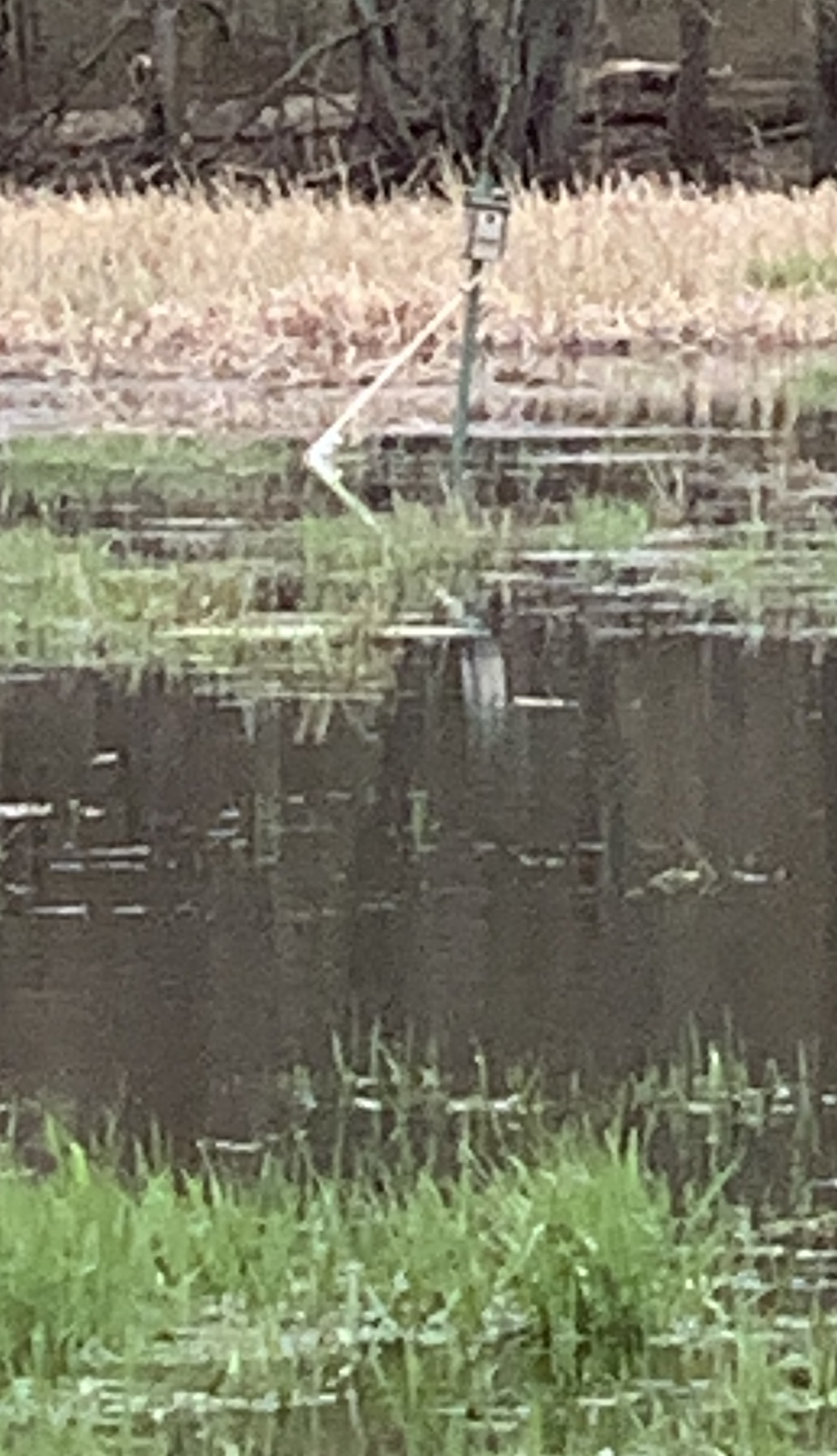
A swing arm is attached to the post of a bird nesting box (see photos ). A ruuvi is attached near the pivot (above the highest anticipated water level) with the Z-axis horizontal when the swing arm is vertical.
As the meadow floods, the float rises changing the orientation of the Ruuvi in proportion to the depth of the water. Mounted on the bird box is a solar/battery powered Pycom Gpy module which includes bluetooth and cellular radios. The Gpy goes into deepSleep for 20 minutes to minimize battery usage. When it wakes up it captures the Ruuvi advertisment packet, connects to the cellular network via Hologram and transmits a message to a remote system. That system formats the messages into a web page and posts it to our web server.
Here 's an example report produced after a dry spell followed by a thunderstorm resulting in 4 inches of rain at our office. The swamp acts as a collection basin and exaggerates the rainfall. Notice that the movement counter (mov) stayed at 144 for a long time. I believe the float was stuck on some grass and eventually popped up resulting in a single movement at 07-10 21:10. This caused the Z reading to jump to 3.3. Over the next 2 hours, as the flood water receeded, the Z-axis orientation of the Ruuvi returned to the 0.0 value.
|
|
|